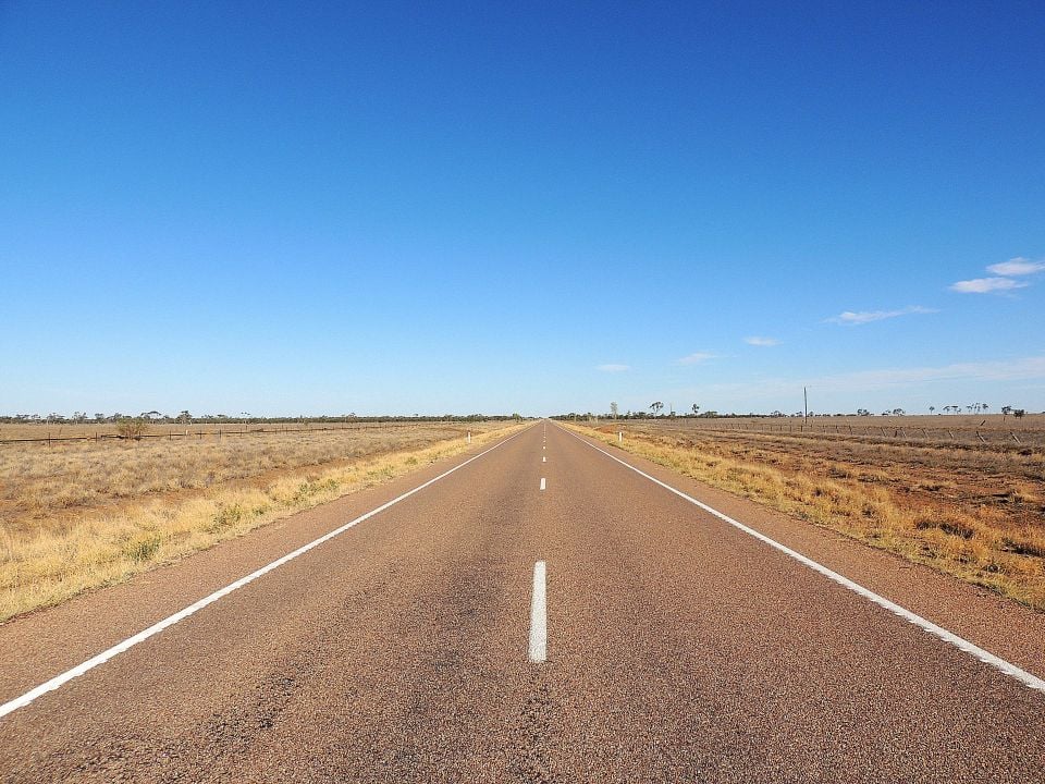
It’s a nightmare scenario for most travellers: having your vehicle break down far from a major town, and without mobile phone reception to call for help.
While nobody is expected to know when a car accident or engine failure will happen, bringing extra supplies for such an unfortunate scenario can be vital for survival – as well as knowing which roads could put you in the greatest danger.
To that end, a new study has compiled data based on commonly travelled roads in regional areas of Australia, providing information on distances to the nearest fuel station, mechanic, and hospital.
Based on these metrics, each road has been given a Danger Zone Index Score, to help travellers to be aware of the potential hazards should they find themselves stranded.
CarExpert can save you thousands on a new car. Click here to get a great deal.

Of the top three most dangerous roads, the Diamantina River Road in outback Queensland comes in at number three, with an index score of 178.49 – with at least 177km to the nearest fuel station, mechanic, or hospital from the most remote point of the road.
In second is the Tanami Road in the Northern Territory, which scores an index score of 249.60, with more than 230km to reach a hospital – and 300km for a mechanic – in a worst-case scenario.
According to the study, compiled by car hire comparison site VroomVroomVroom, Western Australia’s Gunbarrell Highway is the most dangerous commonly used road in the country, with a score of 267.45.
Located near the borders of South Australia and the Northern Territory, breaking down on the most remote part of the Gunbarrel Highway will mean at least 200km to a fuel station, almost 300km to the nearest hospital, and 450km to the closest mechanic.
“When heading into remote or rugged parts of Australia, preparation is everything,” former SAS commando Ryan Wilson said at the release of the data.
“You’re in a situation that requires calm, deliberate action,” said Mr Wilson, who is now the founder and chairman of Working Paws Australia, a charity for retired military dogs.
“Mental preparedness matters – plan your route and check road and weather conditions, and tell someone where you’re going and when you are going to arrive.”
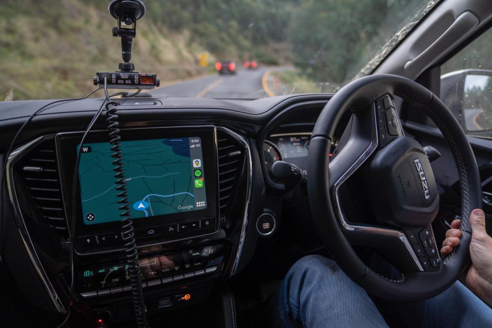
Mr Wilson says it’s vital to bring extra water, food, and a first aid kit with you, as well as GPS navigation, basic tools and spare parts.
“Sunscreen and a wide-brimmed hat, plus sunglasses, are a non-negotiable – double down with a poncho, mosquito repellent and snake bite bandages too,” he said.
“Get a notepad and pen and an emergency contact list, know your driver’s licence [number] and registration details. You never know what situation you might be in.”
While a mobile phone can be a lifeline in populated areas, having some kind of secondary form of communication can be vital in areas without mobile coverage – such as UHF radio, satellite phone, or GPS messaging device like a Spot or Garmin inReach.
In June 2025, Telstra announced its Satellite Messaging service, allowing those with compatible smartphones to send text messages, even when they don’t have mobile reception.
Should those not be available to you, Mr Wilson says the goal is to be seen or heard from a distance.
“Use anything reflective – mirrors, CDs, foil – to flash sunlight, or create large ground signals like ‘SOS’ or ‘HELP’ using rocks. If it’s safe, smoke from a controlled fire is highly visible at night or day.”
Click here to access the full list of Breakdown Dangerzones by VroomVroomVroom, or learn more about Working Paws Australia by clicking here.
MORE: Australia’s top road trip destinations revealed
#Holidaymakers #warned #Dont #break #roads